Alaska River photos
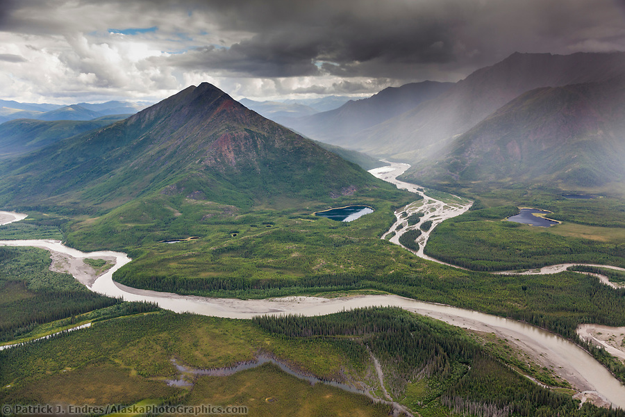
Aerial of the John River and Allen River, Brooks Range mountains, Arctic, Alaska. (Patrick J. Endres / AlaskaPhotoGraphics.com)
Alaska Rivers
Alaska’s geography is dramatically marked by its rivers and mountains. As primitive highway systems, many great rivers weave through the broad wilderness landscape, serving as access routes in winter and summer. The Yukon River, 2,300 miles long, is perhaps the most famous of Alaska’s rivers. Many other rivers flow into the Yukon, which empties into the Bering Sea along Alaska’s western shore. All Alaska river photos here and in the associated links are available for purchase as stock photography or fine art prints to display in your home or office.
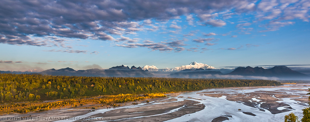
Southside view of Denali and the Chulitna River, North America’s tallest peak at approximately 20,237 ft. (6,168m), Alaska. (Patrick J. Endres / AlaskaPhotoGraphics.com)
Alaska’s Wild and Scenic Rivers
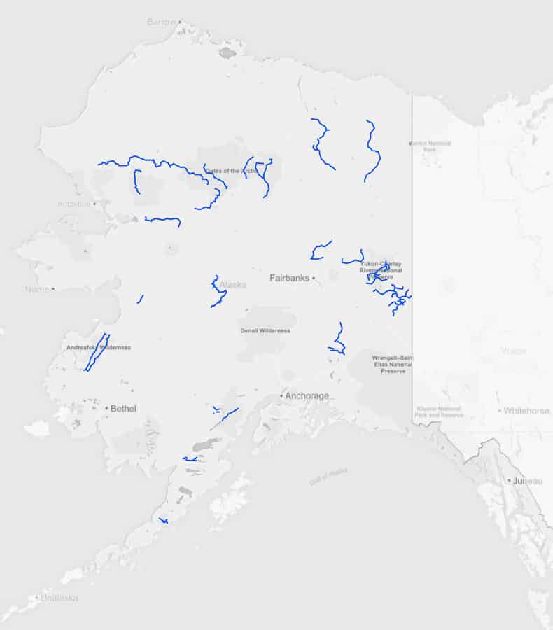
Approximately 1% of Alaska rivers are designated wild and scenic.
Congress created the National Wild and Scenic Rivers System in 1968 to preserve certain rivers with outstanding natural, cultural, and recreational values in a free-flowing condition for the enjoyment of present and future generations. Alaska has designated a series of waterways as particularly scenic and wild. I have photographed and traveled the following Alaska rivers.
- Alatna River
- Charley River
- Fortymile River
- Gulkana River
- Ivishak River
- John River
- Kobuk River
- Koyukuk River (North Fork)
- Noatak River
- Sheenjek River
- Wind River
Wild Rivers: Those rivers or sections of rivers free of impoundments and generally inaccessible except by trail, with watersheds or shorelines essentially primitive and waters unpolluted. These represent vestiges of primitive America.
Scenic River: Those rivers or sections of rivers free of impoundments, with shorelines or watersheds still essentially primitive and shorelines largely undeveloped but accessible in places by roads.
Alatna River
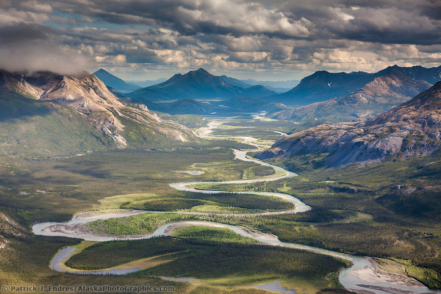
Aerial of the Alatna River, Brooks Range mountains, Arctic, Alaska. (Patrick J. Endres / AlaskaPhotoGraphics.com)
Charley River
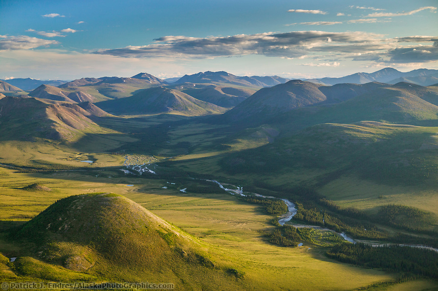
The Wild and Scenic Charley River, in the Yukon Charley Rivers National Preserve, interior Alaska. (Patrick J. Endres / AlaskaPhotoGraphics.com)
Gulkana River
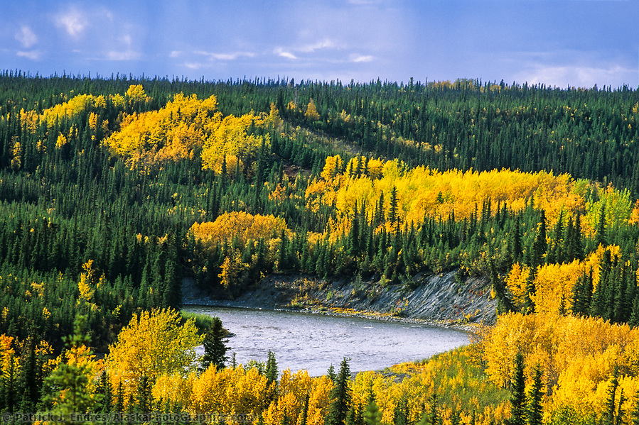
Gulkana River flanked by autumn-colored birch and aspen trees, Alaska (Patrick J. Endres / AlaskaPhotoGraphics.com)
Fortymile River
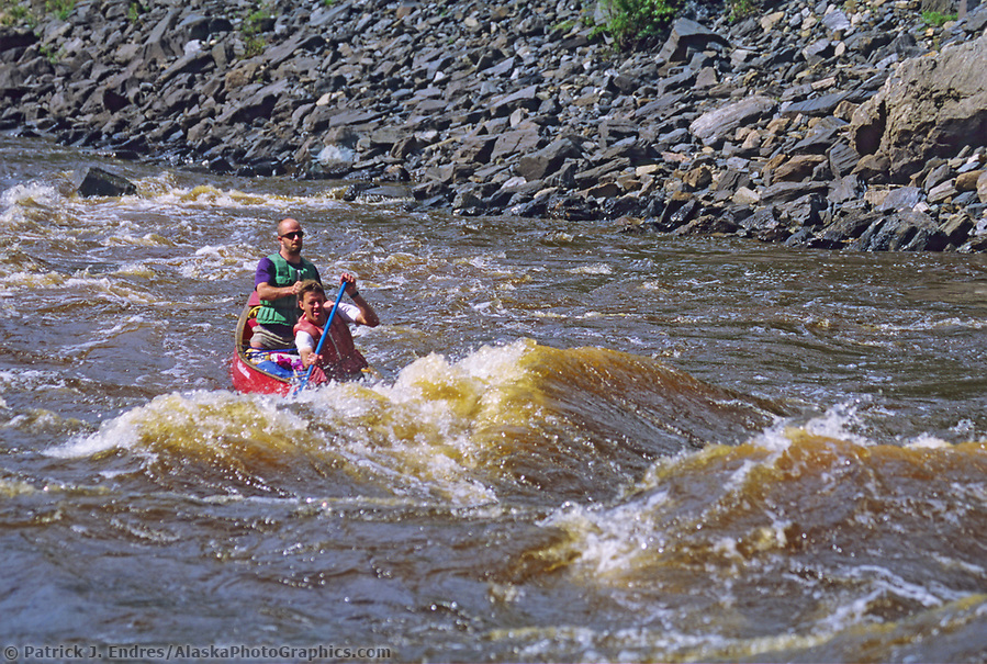
Canoers paddle through canyon rapids on the Forty Mile River, which flows from Alaska through Canada and back to Alaska, joining the Yukon River. (Patrick J. Endres / AlaskaPhotoGraphics.com)
Ivishak River
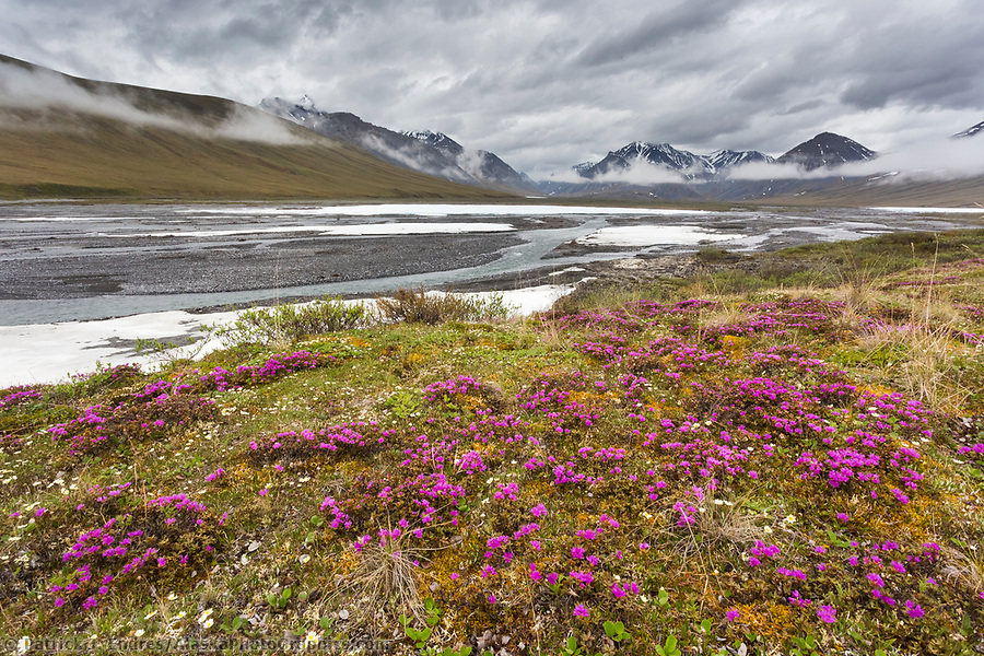
Lapland rosebay on the tundra along the Ivishak river in the Arctic National Wildlife Refuge, Brooks Range, Arctic Alaska. (Patrick J Endres / AlaskaPhotoGraphics.com)
John River

Aerial of the John River and Allen River, Brooks Range mountains, Arctic, Alaska. (Patrick J. Endres / AlaskaPhotoGraphics.com)
Kobuk River
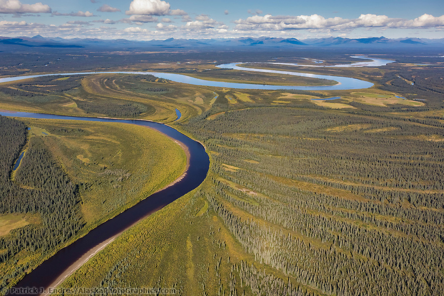
Aerial view of the Kobuk River and patterns of vegetation, Arctic, Alaska. (Patrick J Endres / AlaskaPhotoGraphics.com)
North Fork Koyukuk River
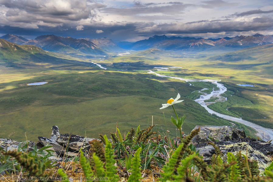
Windflower blossom on the tundra overlooking the North Fork of the Koyukuk River in the Gates of the Arctic National Park, Brooks Range, Alaska. (Patrick J Endres / AlaskaPhotoGraphics.com)
Noatak River
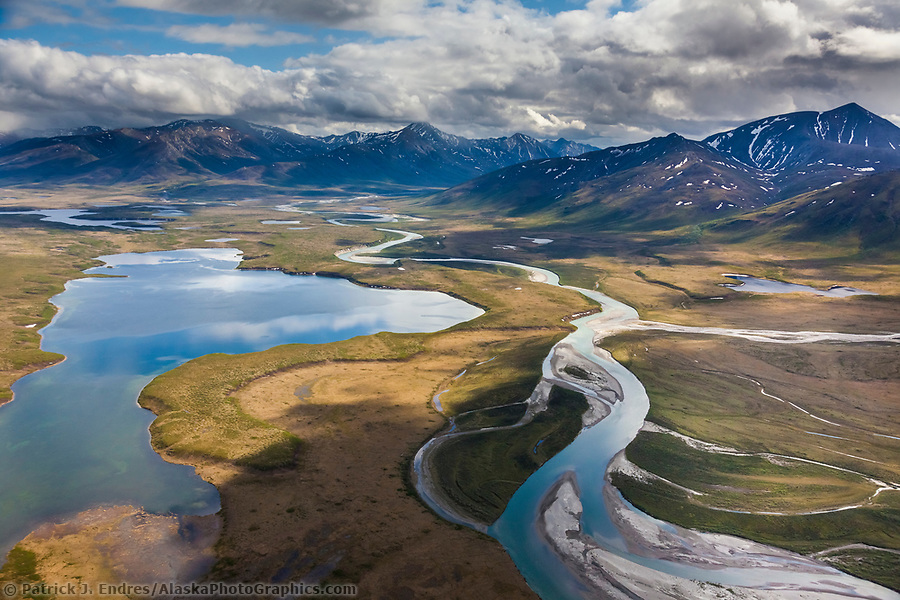
Aerial of lake Matcharak and the Noatak River in the Brooks Range, Gates of the Arctic National Park, Alaska. (Patrick J. Endres / AlaskaPhotoGraphics.com)
Sheenjek River
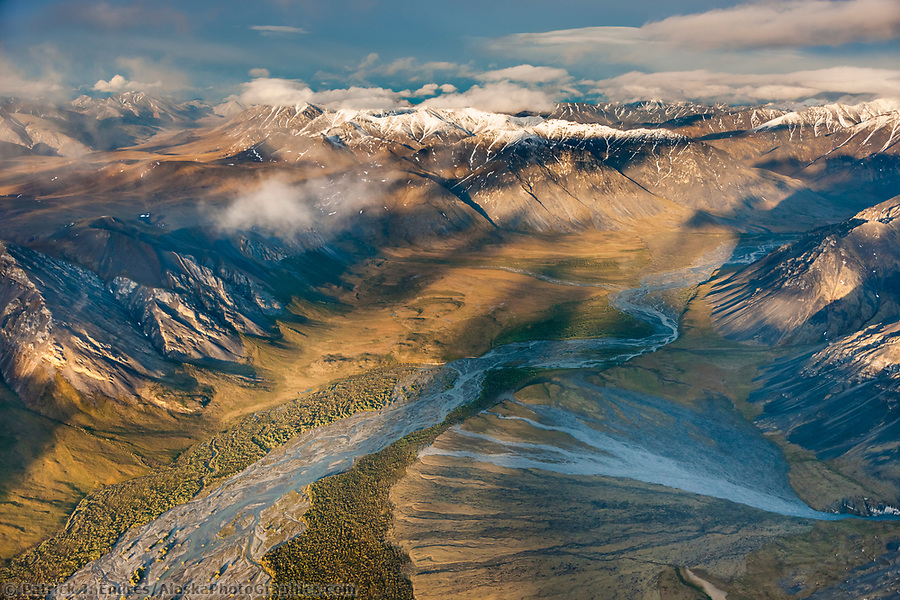
Aerial of the Sheenjek River, Brooks Range, Arctic National Wildlife Refuge, Alaska. (Patrick J. Endres / AlaskaPhotoGraphics.com)
Wind River
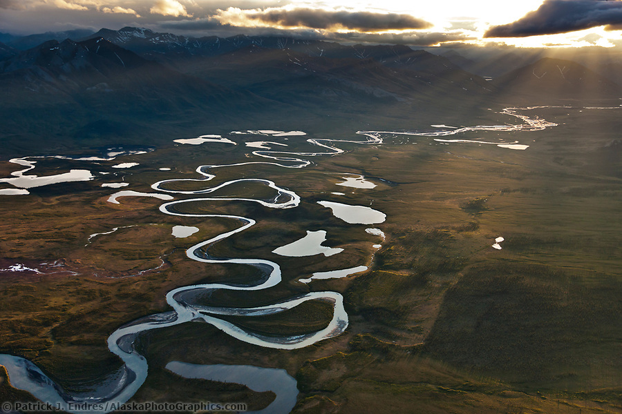
Aerial of the wild and scenic Wind River, Brooks Range, Arctic National Wildlife Refuge, Alaska. (Patrick J. Endres / AlaskaPhotoGraphics.com)
Other Alaska Rivers
Yukon River
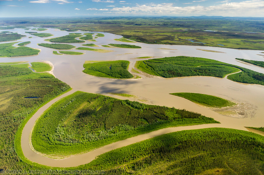
Aerial view of the expansive Yukon River in Interior Alaska, near the town of Circle. (Patrick J Endres / AlaskaPhotoGraphics.com)
Matanuska River
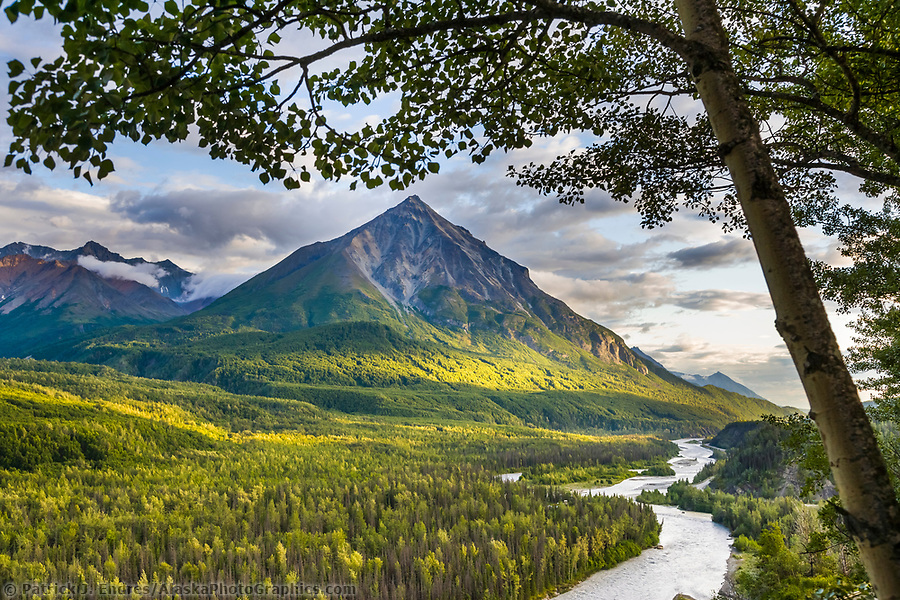
King Mountain, Matanuska River, Matanuska Valley along the Glenn Highway, Alaska. (Patrick J Endres / AlaskaPhotoGraphics.com)
Tanana River
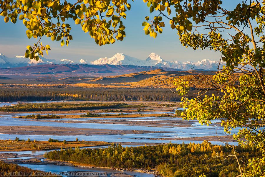
Mt Hess and Deborah (left to right), prominent peaks in the Alaska Range mountains, Tanana River in the foreground, Interior, Alaska. (Patrick J. Endres / AlaskaPhotoGraphics.com)
Killik River
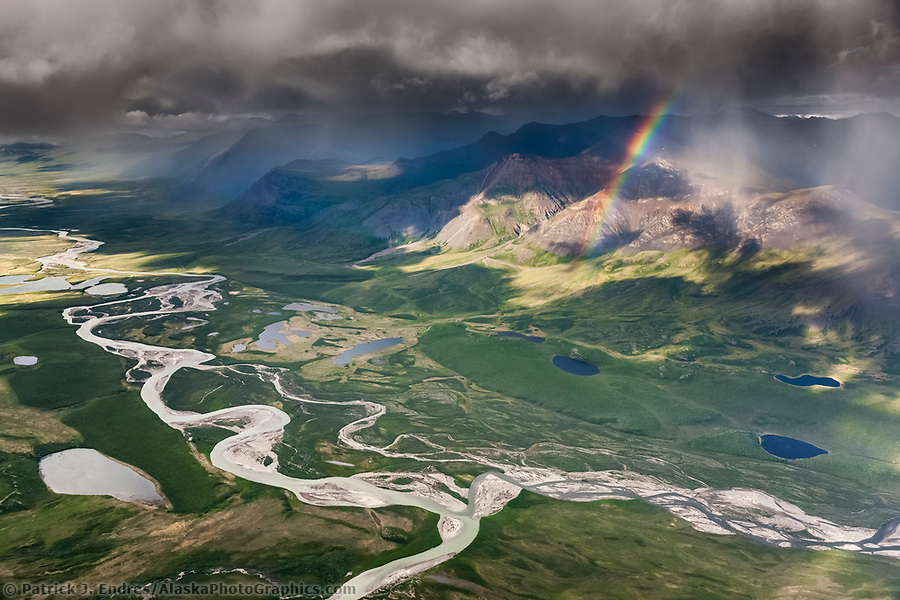
Aerial of the Brooks Range mountains, Arctic Alaska. The confluence of easter creek and Killik River, Gates of the Arctic National Park. (Patrick J Endres / AlaskaPhotoGraphics.com)
Chena River
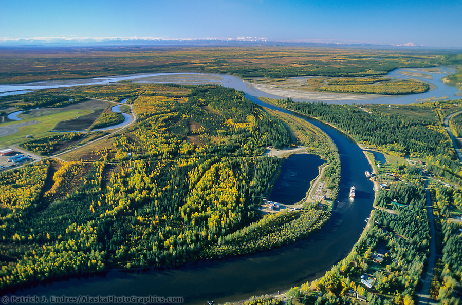
Aerial of Fairbanks, Alaska, Tanana and Chena River confluence, Alaska mountain range on the horizon, mt. Denali is visible on the right, a sternwheeler riverboat discovery on the Chena River. (Patrick J. Endres / AlaskaPhotoGraphics.com)
Marsh Fork, Canning River
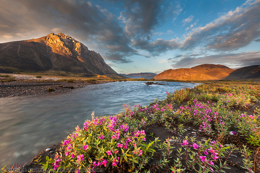
Midnight sunset over dwarf fireweed, or river beauty, along the Marsh Fork of the Canning River in the Arctic National Wildlife Refuge in the Brooks Range mountains, Alaska. (Patrick J Endres / AlaskaPhotoGraphics.com)
Copper River
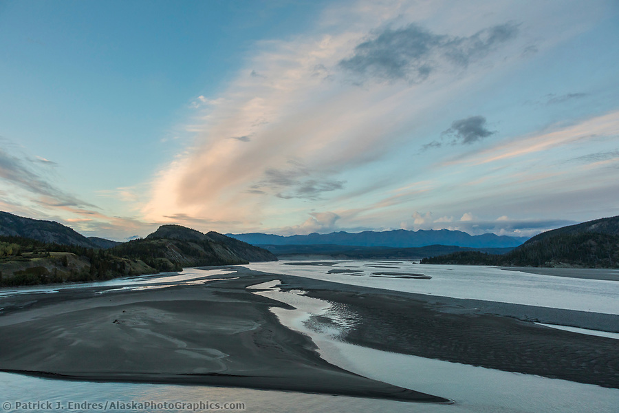
The landscape of the Copper River near Chitna in southcentral Alaska. (Patrick J Endres / AlaskaPhotoGraphics.com)
Matthews River
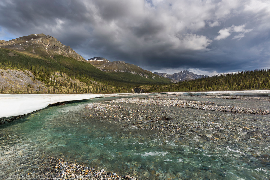
Crystal clear water of the Mathews River, Arctic, Alaska (Patrick J Endres / AlaskaPhotoGraphics.com)
Ribdon River
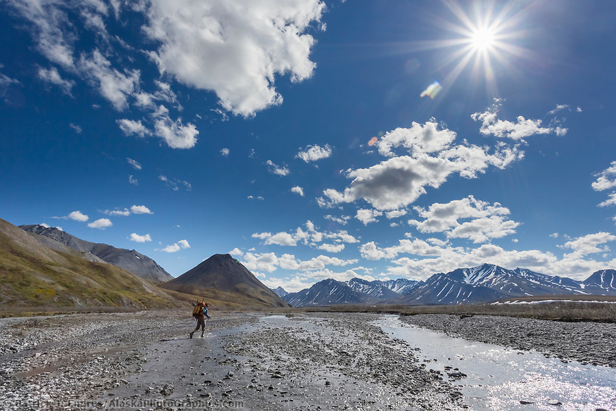
Crossing the Ribdon River. Arctic National Wildlife Refuge, Brooks Range, Arctic Alaska. (Patrick J Endres / AlaskaPhotoGraphics.com)
Big Delta River
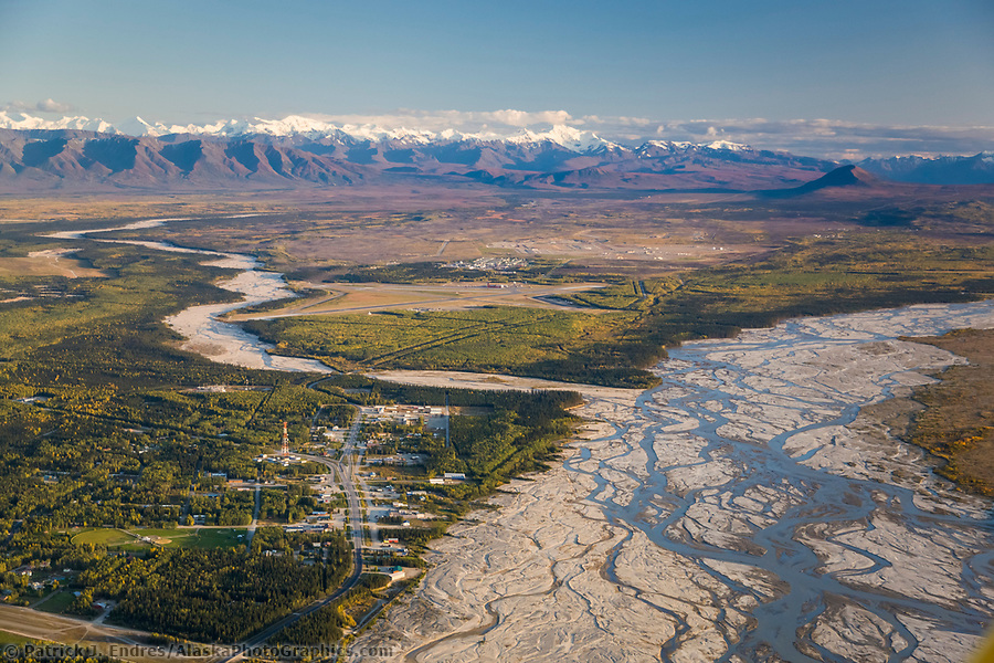
Aerial of the community of Delta Junction, situated on the Big Delta river, Jarvis Creek confluence in the distance. (Patrick J. Endres / AlaskaPhotoGraphics.com)
Sagavirnoktok (Sag) River
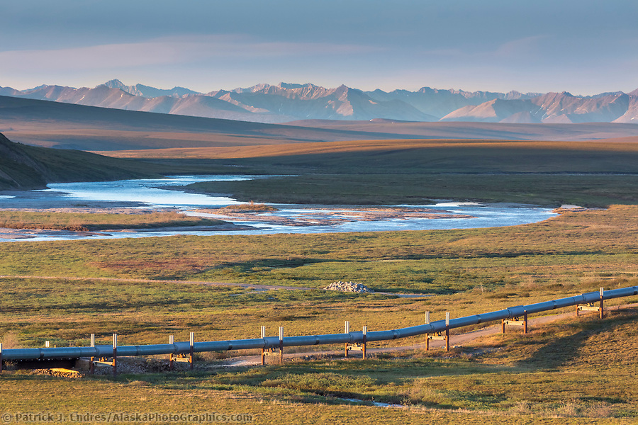
Trans Alaska oil pipeline traverses the Arctic tundra of Alaska, the Sag River, and the Brooks Range mountains in the distance. (Patrick J. Endres / AlaskaPhotoGraphics.com)
Koyukuk River
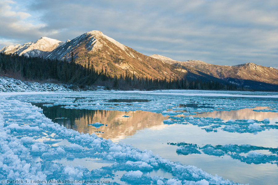
Pancake ice forming along the Koyukuk River at freeze up in October, Brooks Range, Alaska (Patrick J. Endres / AlaskaPhotoGraphics.com)
Dietrich River
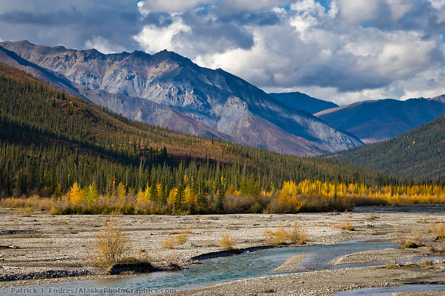
Dietrich river, Brooks Range mountains, Alaska. (Patrick J. Endres / AlaskaPhotoGraphics.com)
Knik River
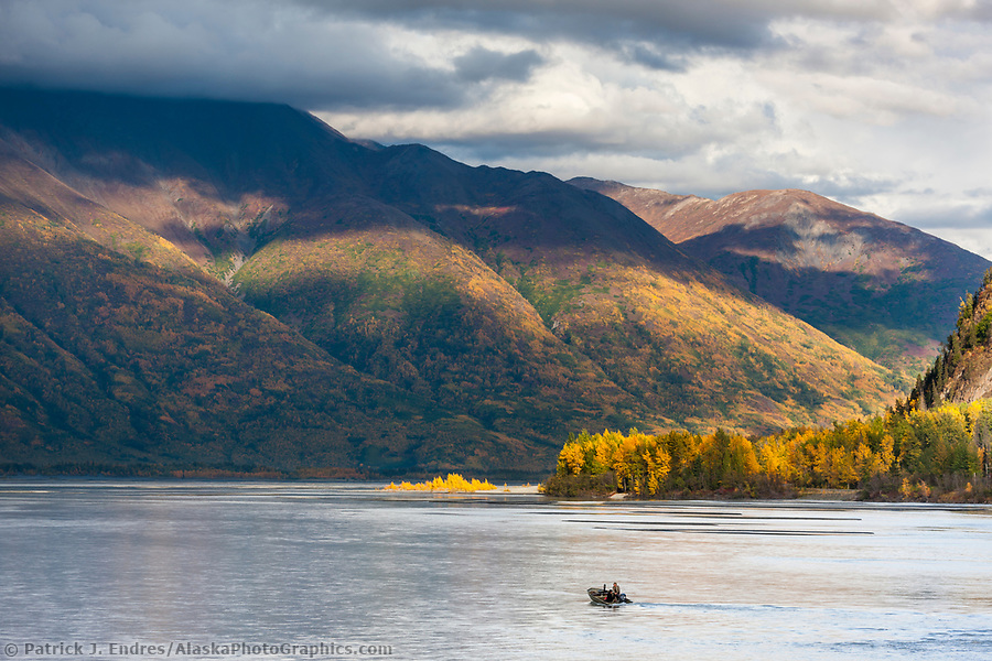
Moose hunters in riverboat travel the Knik River, southcentral Alaska. (Patrick J. Endres / AlaskaPhotoGraphics.com)
Hammond River
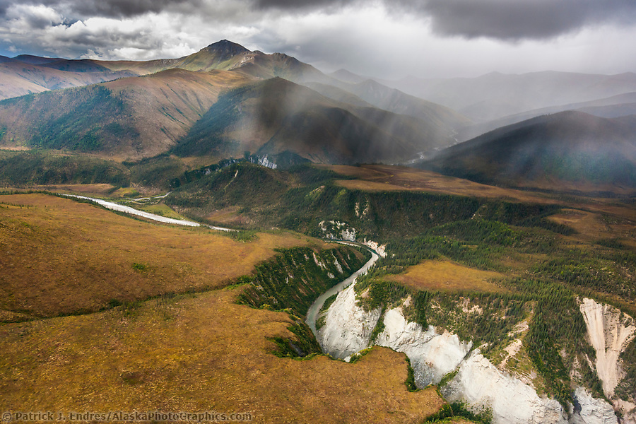
Aerial of the Hammond river canyon, Gates of the Arctic National Park, Brooks Range mountains, Alaska. (Patrick J. Endres / AlaskaPhotoGraphics.com)
