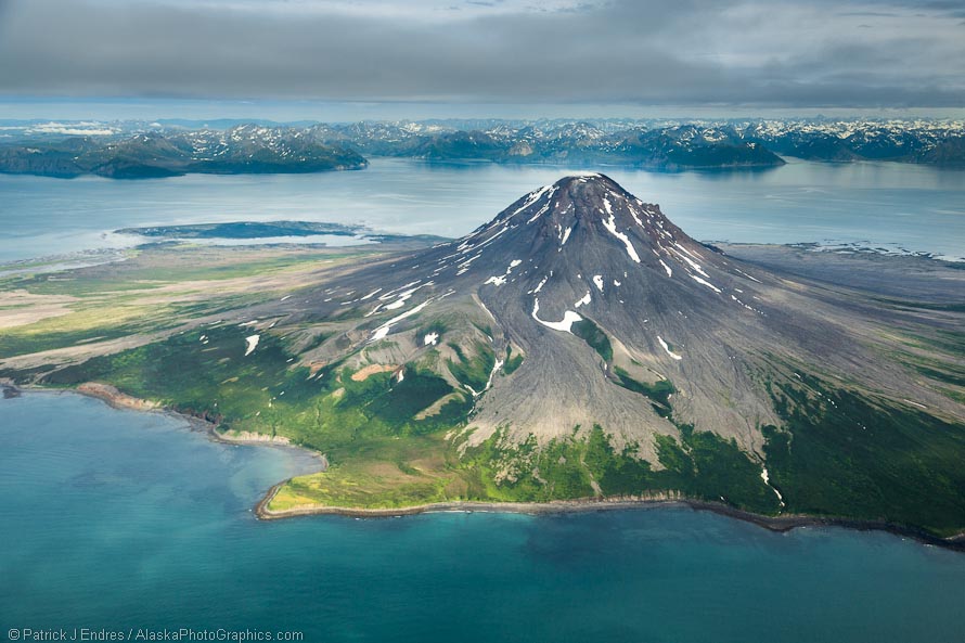
Aerial of Mount Augustine volcano

Aerial view of Mt. Augustine volcano, Alaska Peninsula. Canon 5D Mark III, 24-105mm f/4L IS, (32mm), 1/2000 sec @ f/4, ISO 400
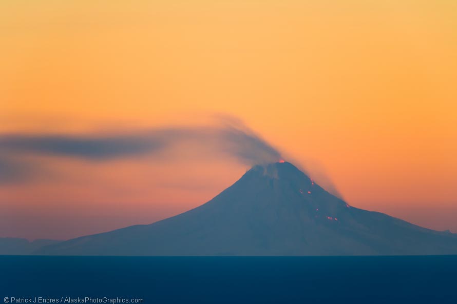
Alaska’s southwest coast is a well known region of the Pacific rim of fire, dotted by active volcanoes and rugged mountains. In 2006, this volcano, Mt Augustine erupted and I photographed it from the Kenai Peninsula (see below). On my recent trip to the coastal region of Katmai National Park, weather conditions required that we fly a more northerly route which took us by this volcano. It was a great view, and pretty much a grab shot taken through the plexi-glass window on the airplane as we flew by. Far less than ideal conditions for aerial photography, but never the less, a very immense view. With some contrast and exposure modifications, I was able to remove the muddy look caused by the plane window. I know I’ve reiterated this before but it is an important note to make regarding shutter speeds when shooting from aircraft: use a high one! I shot this at 1/2000 of a second, to ensure sharpness. It is also interesting to note that in these two images, the volcano is approximately the same size but due to closeness, the 32mm and 700mm focal lengths reveal the variation in distance from the actual volcano.

Mt. Augustine active volcano, March 2006, view from Kachemak Bay, Homer, Alaska, across the Cook Inelt. Approximately 75 miles from the Volcano, which sits as an island off the coast of the Alaska Peninsula. Incandesence lava flows on the North and North east flank. Canon 1Ds Mark II, 500mm f/4L IS w/1/4x (700mm), 89 seconds @ f/5.6, ISO 400


