Day 4, June 17, 2014, The Ribdon to Ivishak River. 14 miles hiking
Crossed two mountain summits
No packraft crossings
Arrived at the Ivishak River
A 7 day, 170 mile wilderness trip from the Ribdon to Ivishak River in Alaska’s Brooks Range from June 14-20.
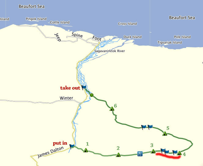
Day 4: Route Map – hike from the Ribdon river to the Ivishak river headwaters
Today we would move out of the Ribdon to the Ivishak river. The morning arrived in sunny cheerfulness, and we woke to a day poised with excitement, since we would soon rest our feet and legs, blow up our rafts, and embark on a new mode of travel in our packrafts. Plus, we cross the summit today, and start some downhill travel. While my body had held up well so far, my feet and shoulders would welcome a break from that backpack. After changing batteries in the GPS and downing some Mountain House breakfast, we were underway.
Law #4 in The Laws of Simplicity by John Maeda is “Knowledge” because: “knowledge makes everything simpler”. Knowledge seems most easily acquired when there is a strong desire to attain it. And there is hardly a more perfect setting than Alaska’s wilderness to bring this into acuity. There is of course the value of research before hand, past experience, and the benefits of being well prepared. Knowledge of wildlife behavior, knowledge of map reading, route finding, terrain and weather, etc., can help immeasurably in making a journey go more smoothly. I must admit that I really enjoyed not specifically knowing the exact route we would take, as this delivers a little bit of puzzle solving every day. While most of the pictures you have seen so far are sunny with blue skies, that was about to change soon. Any veteran of Alaska mountain travel relishes in these fine moments, knowing, they don’t last forever.
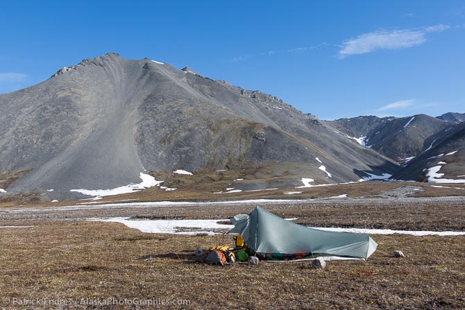
Morning camp on day 4, a nice, flat piece of tundra adjacent to the river.
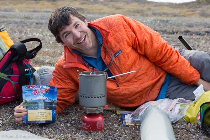
For the most part, we found the Mountain House meals pretty good. However, the breakfast skillet did not get high votes, in spite of Mark’s smile. We both removed the meals from the packets and put them in zip lock bags in order to pack more densely and save space. But we did keep the pouches folded up an used them to rehydrate the food. That prevented the need to do any dish washing the entire trip.
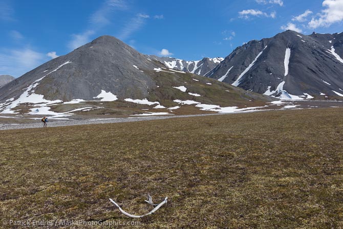
Yet another caribou antler laying on the tundra along the river just a few miles from the summit.
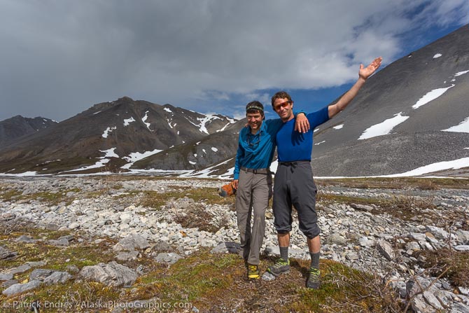
Pause for a little selfie after a brief rain squall, near the summit and source of the Ribdon. I liked my REI hiking pants that had a little drawstring around the ankle which made it very easy to pull them up to knee height when crossing rivers.
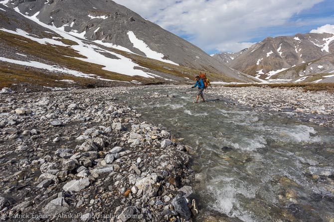
The river narrowed and became a clear stream filled with gushing snow melt from the surrounding hills.
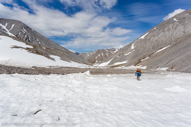
As we neared the summit, one large snow patch remained to trudge through in our tennis shoes. In general these snow patches are easy to travel across, but at times, it is possible to punch through and if there are large angular rocks underlying the snow, one needs to be careful.
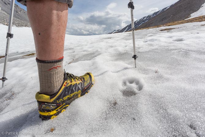
Wolf tracks were fairly common, as was scat and other signs of their presence, although we only saw one wolf. Walking in the steps of these amazing animals, that cover such ground with ease, was a rich experience.
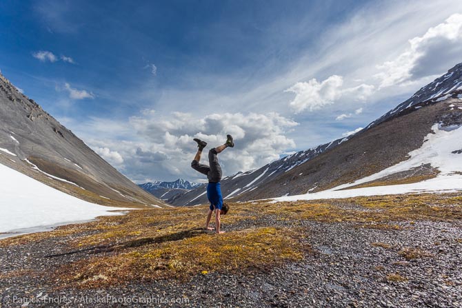
Handstand celebrations at the summit before descending the other side for the Ivishak river.
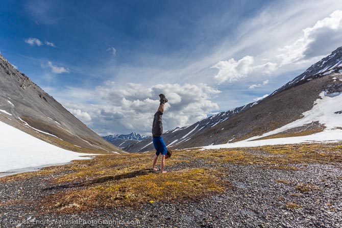
Handstand celebrations at the summit.
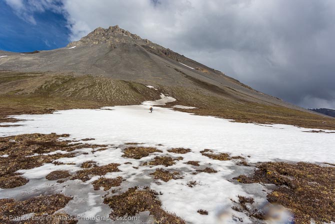
Mark crosses a snowfield on the descent.
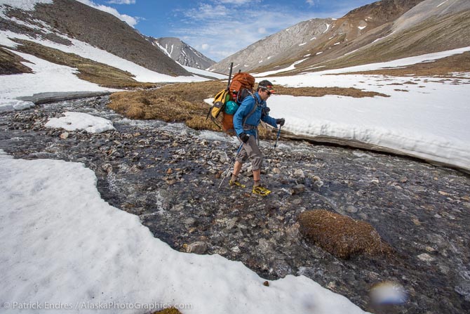
We were not sure what we would find on the decent from the summit, and there was still abundant snow and an icy cold stream to walk through.
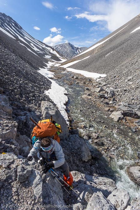
We had to do a little scrambling and climbing to avoid a narrow canyon of snow and rock which pinched us off from a direct descent.
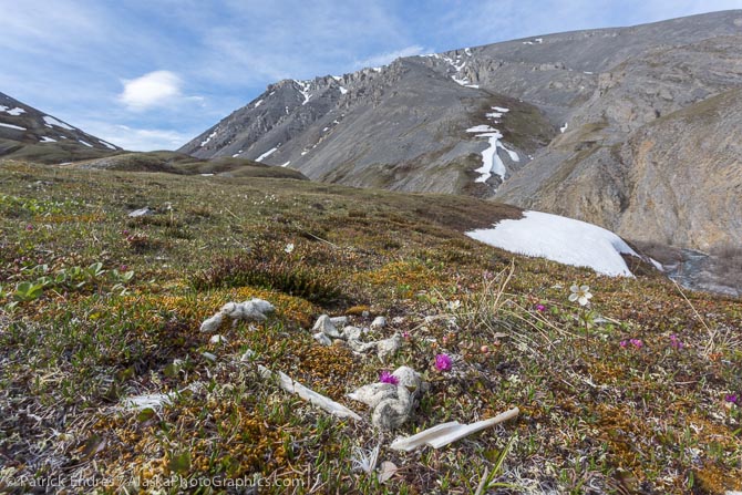
After descending down the pass, we came upon a beautiful tundra bench alongside the drainage that merged into the Ivishak. We took a short break amidst wolf scat and dall sheep bones on the tundra, signs of a recent kill.
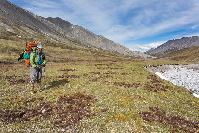
Mark muses over the grizzly bear root diggings in the tundra, recent signs of serious bear activity. It looked like a rototiller had been through the tundra bench along the small drainage that would lead us out to the Ivishak.
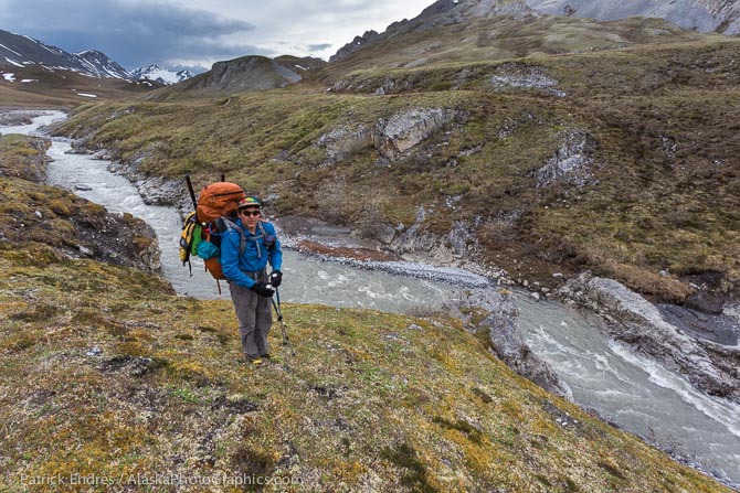
This drainage merged into the Ivishak but both the volume and the fact that it narrowed into a tightly walled canyon, prevented us from packrafting it. Instead, we were forced to go up and do some side hilling. Eventually, to shorten our trek to the river, we decided to hike up and over the mountain instead of going around it.
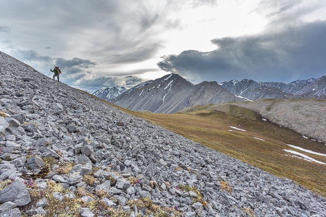
Traversing this large, angular rock was trying especially after a very long day of hiking already under our belt.
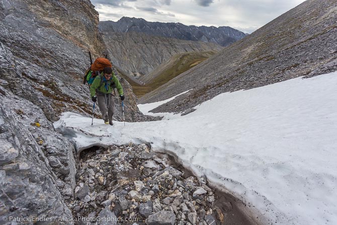
After being deterred by headland cliffs, we were forced to descend a little bit, but found another route up a remaining snow patch in a narrow valley. Toe stepping into a steep snow slope with tennis shoes is not preferred, but we made it up in pretty short time.
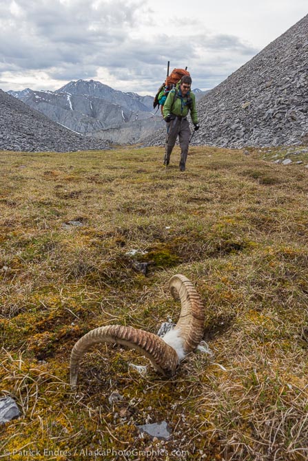
In the grassy saddle at the top of the mountain was a dall sheep kill by wolves.
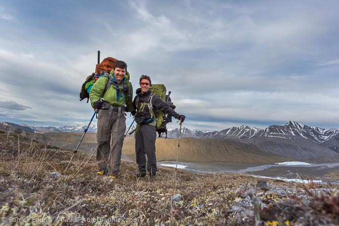
A happy moment after 13 miles of hiking and some difficult route finding, we laid eyes on the Ivishak River. Now just a short walk down the spongy tundra to the river’s edge.
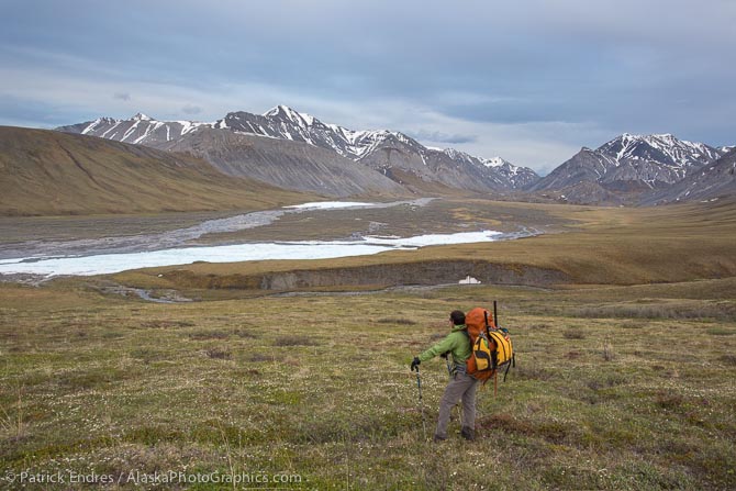
Mark surveys the Ivishak River.
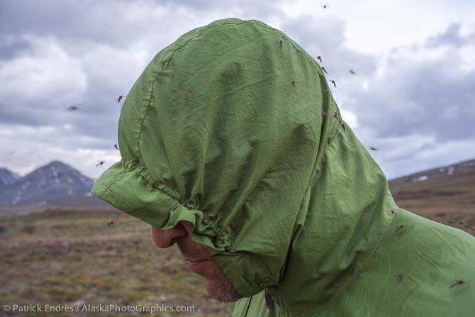
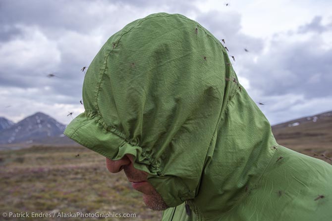
Late at night, while we set up camp, we had a few friends join us. They seemed to like Mark more than me. This is another good use of the very lightweight windbreakers. They make pretty good mosquito protection, save for the face. These are the larger mosquitoes that come out early in the Spring. They don’t bite much but they are annoying.
Even though today was a little shorter in length, only 14 miles, it was a vigorous day of hiking with some challenging and very fun route finding. It was the favorite day of the hiking portion. We were pretty psyched to be at the threshold of the packrafting portion, which would begin in the morning after a welcomed night of sleep. We are now in the Arctic Refuge, or also known as the ANWR, the Arctic National Wildlife Refuge. Finding a flat spot for the tent on the tundra was a mild challenge. Tomorrow comes the water on the river and water from the sky…

